You haven't signed in yet, you can have a better experience after signing in
*Please complete the payment within {{receiveCouponInfo.expire_at}}Previous use*
You haven't signed in yet, you can have a better experience after signing in
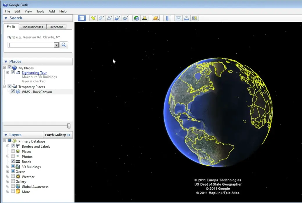
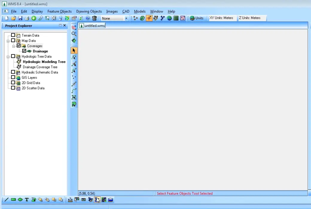
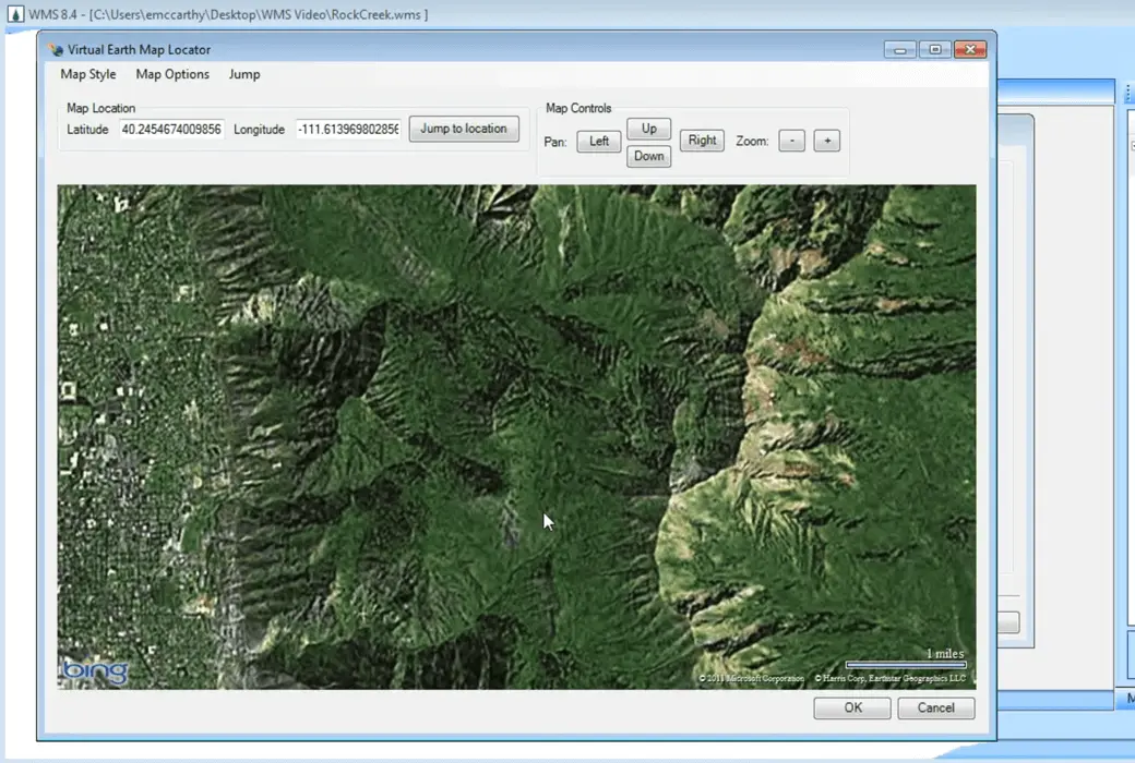
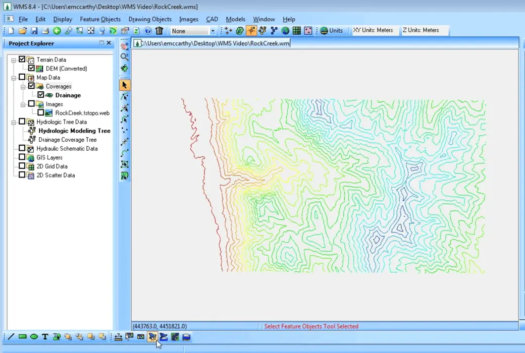
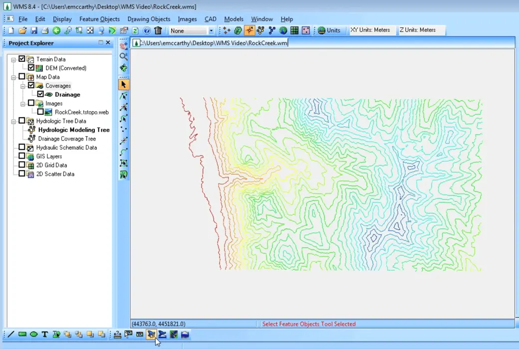
 Watershed Modeling System 11 Watershed Modeling System Tool Software
Activity Rules
1、Activity time:{{ info.groupon.start_at }} ~ {{ info.groupon.end_at }}。
1、Activity time:cease when sold out。
2、Validity period of the Group Buying:{{ info.groupon.expire_days * 24 }} hours。
3、Number of Group Buying:{{ info.groupon.need_count }}x。
Please Pay Attention
1、Teamwork process: Join/initiate a Group Buying and make a successful payment - Within the validity period, the number of team members meets the activity requirements - Group Buying succeeded!
2、If the number of participants cannot be met within the valid period, the group will fail, and the paid amount will be refunded in the original way.
3、The number of people required and the time of the event may vary among different products. Please pay attention to the rules of the event.
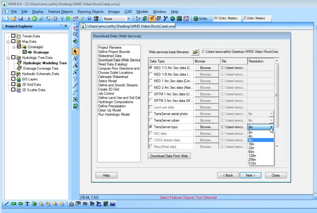
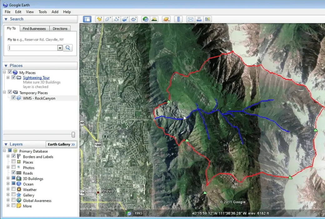
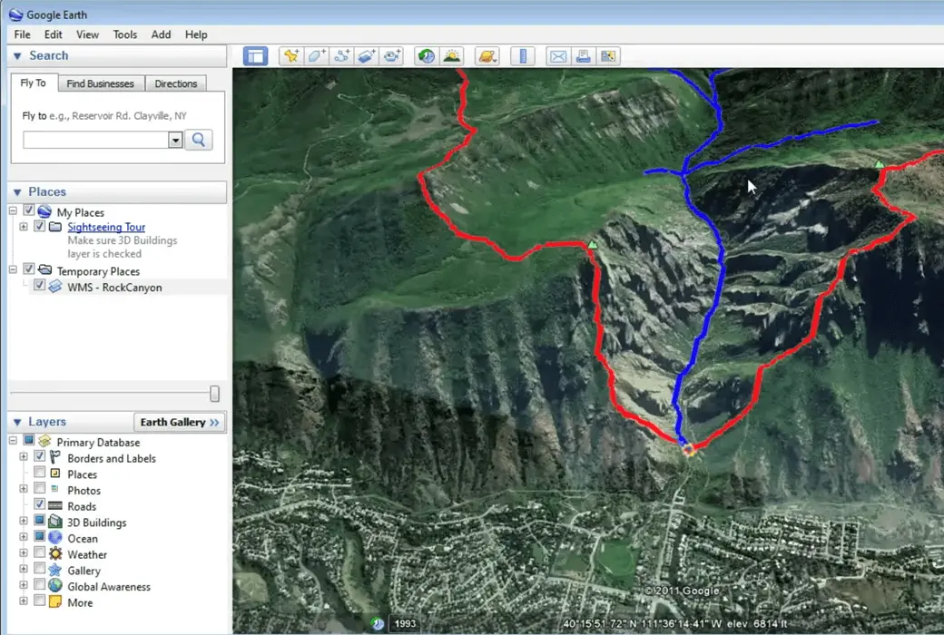
WMS - Multi Integrated Watershed Solution, Complete Multi Integrated Watershed Solution

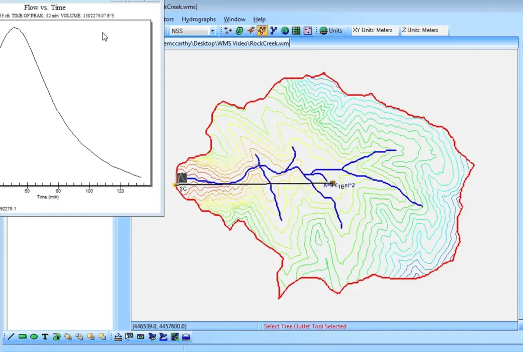
Automatic watershed delineation and hydrological modeling
Support most industry standard hydrological models
Hydraulic modeling and floodplain mapping
Rainwater channel modeling
Two dimensional (distributed) hydrology
Import what you need
WMS 11.1 System Requirements
-Mechanical hard drive: basic performance
-SATA Solid State Drive: Better Performance
-NVMe Solid State Drive: Best Performance
Official website:https://www.aquaveo.com/software/wms-watershed-modeling-system-introduction
Download Center:https://wms-watershed-modeling-system.apsgo.cn
Backup Download:N/A
Delivery time:Manual processing
Operating platform:Windows 10+
Interface language:Supports English interface display, with multiple languages available.
Update instructions:Supports 1-year maintenance, updates, and upgrades.
Pre purchase trial:Free trial before purchase.
How to receive the goods:After purchase, the activation information will be sent to the email address at the time of placing the order, and the corresponding product activation code can be viewed in the personal center, My Orders.
Number of devices:Can install 1 computer.
Replacing the computer:Uninstall the original computer and activate the new computer.
Activation guidance:To be added.
Special instructions:To be added.
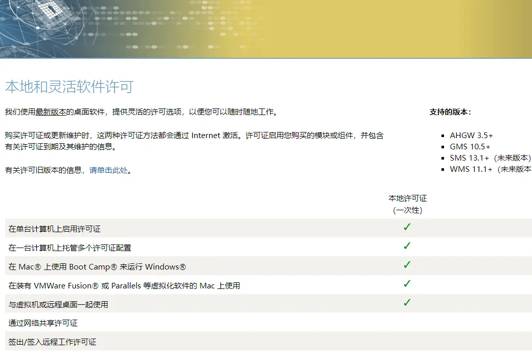
reference material:https://www.aquaveo.com/maintenancehttps://www.aquaveo.com/software-license-methods

Any question